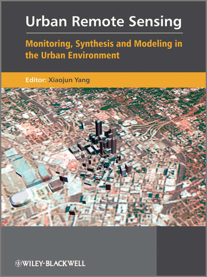
Книга "Urban Remote Sensing. Monitoring, Synthesis and Modeling in the Urban Environment" предназначена для студентов старших курсов бакалавриата, магистрантов, исследователей и практикующих специалистов, которые интересуются развитием технологии дистанционного зондирования для мониторинга, синтеза и моделирования в городской среде. Книга охватывает четыре основных направления: использование высоко-разрешающих спутниковых изображений или альтернативных источников изображений (например, высоко-разрешающий SAR и LIDAR) для извлечения признаков городской среды; разработка улучшенных алгоритмов и методов обработки изображений для получения точной и последовательной информации об атрибутах городской среды из данных дистанционных сенсоров; разработка аналитических методов для получения показателей социоэкономических и экологических условий, которые преобладают в городском ландшафте; и разработка дистанционных методов и пространственных аналитических методов для моделирования роста городов и прогнозирования этого роста.
Книга "Городской Дистанционное зондирование. Мониторинг, Синтез и Моделирование в городской среде" автора Сяохуна Яня.
Remote Sensing of the City, Monitoring, Analysis, and Model Development in Urban Environmentspresents the technology and practice applicable to specific applications in the field. Each forum is available separately for continuing use, hopefully providing you with methods for use by upper undergraduates and graduates; researchers; and urban planning and management professionals, as well as researchers from other fields interested in these subjects.
Электронная Книга «Urban Remote Sensing. Monitoring, Synthesis and Modeling in the Urban Environment» написана автором Xiaojun Yang в году.
Минимальный возраст читателя: 0
Язык: Английский
ISBN: 9780470979570
Описание книги от Xiaojun Yang
Urban Remote Sensing is designed for upper level undergraduates, graduates, researchers and practitioners, and has a clear focus on the development of remote sensing technology for monitoring, synthesis and modeling in the urban environment. It covers four major areas: the use of high-resolution satellite imagery or alternative sources of image date (such as high-resolution SAR and LIDAR) for urban feature extraction; the development of improved image processing algorithms and techniques for deriving accurate and consistent information on urban attributes from remote sensor data; the development of analytical techniques and methods for deriving indicators of socioeconomic and environmental conditions that prevail within urban landscape; and the development of remote sensing and spatial analytical techniques for urban growth simulation and predictive modeling.
