Книга "Притоки дистанционного зондирования в области науки и управления" является всеобъемлющим обзором развития в общей области притоков дистанционного зондирования, с особым акцентом на его потенциал для управления реками. В издании рассматриваются некоторые сложные проблемы с учетом разных пространственных и временных масштабов с позиций различных дисциплин. В начале книги представлен обзор технического прогресса, приводящего к новым приложениям управления в рамках широкого спектра контекстов и пространств.Среди тем — цветная съемка, мультиспектральная и гиперспектральная съемка, видео, фотограмметрия и лазерное дальнометрирование. В книге рассматриваются, среди прочего, целенаправленные, сети масштабов планирования, изменение земельных участков с моделированием бассейнов, характеристики проточных участков (прибрежная растительность, геоморфологические особенности) и в пространственном, и во временном измерениях, оценка рыбных ареалов обитания, измерение потока, мониторинг восстановления и поддержания рек и, наконец, оценка восприятия людьми берегов рек.
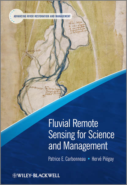
This book provides a broad review of advances in fluvial remote-sensing research with particular focus on how it enhances the management of rivers. The work explores a multitude of complex issues ranging over different temporal and spatial scales from various disciplinary perspectives.
The volume opens with an analysis of technological advancements allowing new applications in different river contexts and at various spatial scales. Included are chapters on colour imagery, multispectral/hyper-spectral photography, video recordings, photogrammetric and Light Detection and Ranging (LiDAR) techniques.
Moving on, the book explores management uses, including targeted, network-scale monitoring, planning for riverine activities, modelling changes in land use in landscapes, identification of geomorphological characteristics, riparian vegetation and fish habitats, as well as river flow evaluation, assessments of river rehabilitation efforts, and examination people’s perceptions of river settings.
Notable aspects of this work include:
• the emphasis placed on managerial applications in light of the growing need to assess river conditions across various geographic areas and time periods;
• an integrated application across all types of imagery, with thorough discussion of data collected using both ground and aerial vehicles;
This book provides a comprehensive review of progress made in the fluvial realm through remote sensing involving a special focus on the potential role in managing rivers. It covers various challenges which combine plenty of time and space contexts' perspectives coming together from lots of disciplines.
It opens up with an take a look at progressive trends that lead to more effective management's applications involving different context types and spatial levels. Subjects like colour pictures, multispectral and hyperspectral pictures, video, photography and ladar are looked over. Then the book discusses managerial applications like targeted plans, planning at grid scales,, model-ling when the cultural surroundings change at basin scales, evaluating channel reaches' properties (forests and geomorphic features) on both time and spatial dimensions, assessing aquatic areas' habitability, finding out river conditions, monitoring when a river is repaired and maintained, and assessing people's perceptions of river spaces.
Электронная Книга «Fluvial Remote Sensing for Science and Management» написана автором Piégay Hervé в году.
Минимальный возраст читателя: 0
Язык: Английский
ISBN: 9781119940784
Описание книги от Piégay Hervé
This book offers a comprehensive overview of progress in the general area of fluvial remote sensing with a specific focus on its potential contribution to river management. The book highlights a range of challenging issues by considering a range of spatial and temporal scales with perspectives from a variety of disciplines. The book starts with an overview of the technical progress leading to new management applications for a range of field contexts and spatial scales. Topics include colour imagery, multi-spectral and hyper-spectral imagery, video, photogrammetry and LiDAR. The book then discusses management applications such as targeted, network scale, planning, land-use change modelling at catchment scales, characterisation of channel reaches (riparian vegetation, geomorphic features) in both spatial and temporal dimensions, fish habitat assessment, flow measurement, monitoring river restoration and maintenance and, the appraisal of human perceptions of riverscapes. Key Features: • A specific focus on management applications in a period of increasing demands on managers to characterize river features and their evolution at different spatial scales • An integration across all scales of imagery with a clear discussion of both ground based and airborne images • Includes a wide-range of environmental problems • Coverage of cutting-edge technology • Contributions from leading researchers in the field
