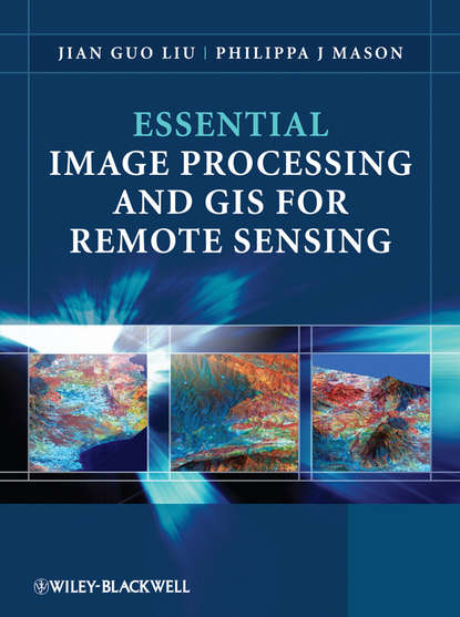
“Essential Image Processing and GIS for Remote Sensing” - это доступный обзор темы и успешно объединяет эти три ключевые области в сбалансированном и всеобъемлющем формате. Книга предоставляет обзор основных методов и выбор ключевых примеров из различных областей применения. Ключевые концепции и идеи вводятся ясным и логичным образом и описываются с помощью многочисленных соответствующих концептуальных иллюстраций. Математические детали сведены к минимуму и упоминаются только тогда, когда это необходимо для простоты понимания. Такие концепции объясняются с помощью простых терминов, а не строгой математической детали, когда объясняются методы обработки изображений и ГИС, чтобы позволить студентам понять основные аспекты, которые могут быть сложными для понимания. Книга четко разделена на три части, первая часть представляет основные методы обработки изображений для дистанционного зондирования. Вторая часть рассматривает ГИС и начинается с обзора концепций, структур и механизмов, с помощью которых работает ГИС. Наконец, третья часть представляет приложения дистанционного зондирования.
Электронная Книга «Essential Image Processing and GIS for Remote Sensing» написана автором Philippa Mason J. в году.
Минимальный возраст читателя: 0
Язык: Английский
ISBN: 9780470746042
Описание книги от Philippa Mason J.
Essential Image Processing and GIS for Remote Sensing is an accessible overview of the subject and successfully draws together these three key areas in a balanced and comprehensive manner. The book provides an overview of essential techniques and a selection of key case studies in a variety of application areas. Key concepts and ideas are introduced in a clear and logical manner and described through the provision of numerous relevant conceptual illustrations. Mathematical detail is kept to a minimum and only referred to where necessary for ease of understanding. Such concepts are explained through common sense terms rather than in rigorous mathematical detail when explaining image processing and GIS techniques, to enable students to grasp the essentials of a notoriously challenging subject area. The book is clearly divided into three parts, with the first part introducing essential image processing techniques for remote sensing. The second part looks at GIS and begins with an overview of the concepts, structures and mechanisms by which GIS operates. Finally the third part introduces Remote Sensing Applications. Throughout the book the relationships between GIS, Image Processing and Remote Sensing are clearly identified to ensure that students are able to apply the various techniques that have been covered appropriately. The latter chapters use numerous relevant case studies to illustrate various remote sensing, image processing and GIS applications in practice.


