Обработка огромных объемов данных о наземной поверхности Земли, полученных со спутников NASA и других международных космических программ, представляет собой значительную проблему. Заполняя пробел между теоретическим физически обоснованным моделированием и конкретными приложениями, это фундаментальное исследование представляет практические количественные алгоритмы для оценки различных переменных наземной поверхности по данным дистанционного зондирования. Краткий обзор основных принципов оптического дистанционного зондирования, а также практические алгоритмы для количественной оценки переменных наземной поверхности по данным дистанционного зондирования. Особое внимание уделяется как основным принципам оптического дистанционного зондирования, так и практическим алгоритмам для количественной оценки переменных наземной поверхности по данным дистанционного зондирования. Представляет текущее физическое понимание дистанционного зондирования как системы с акцентом на моделирование переноса излучения в атмосфере, растительном покрове, почве и снеге. Собирает современные количественные алгоритмы для калибровки датчиков, атмосферной и топографической коррекции, оценки различных биофизических и геофизических переменных, а также четырехмерного ассимиляции данных.
This book provides a comprehensive overview of remote sensing methods and quantitative interpretation of land surfaces, focusing on variables such as vegetation, surface roughness, soil moisture, terrain elevation, shadow fractions, exposure to view, surface types, etc. Such detailed descriptions could be found not only in this particular volume, but also in other related books, based on Shunlin Liang's research works. Although the topic is technical, the authors format has endeavoured to make it easily accessible to anyone who wishes to know more about optical sensors and their analyses.This book should be an invaluable reference for researchers who want a first introduction to quantitative remote sensing, or those who have already gained some experience with the subject, and wish to improve their skills.
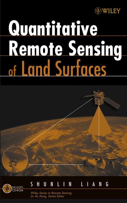
Электронная Книга «Quantitative Remote Sensing of Land Surfaces» написана автором Shunlin Liang в году.
Минимальный возраст читателя: 0
Язык: Английский
ISBN: 9780471723714
Описание книги от Shunlin Liang
Processing the vast amounts of data on the Earth's land surface environment generated by NASA's and other international satellite programs is a significant challenge. Filling a gap between the theoretical, physically-based modelling and specific applications, this in-depth study presents practical quantitative algorithms for estimating various land surface variables from remotely sensed observations. A concise review of the basic principles of optical remote sensing as well as practical algorithms for estimating land surface variables quantitatively from remotely sensed observations. Emphasizes both the basic principles of optical remote sensing and practical algorithms for estimating land surface variables quantitatively from remotely sensed observations Presents the current physical understanding of remote sensing as a system with a focus on radiative transfer modelling of the atmosphere, canopy, soil and snow Gathers the state of the art quantitative algorithms for sensor calibration, atmospheric and topographic correction, estimation of a variety of biophysical and geoph ysical variables, and four-dimensional data assimilation
